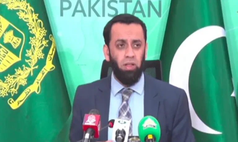
The Pakistan Space and Upper Atmosphere Research Commission has launched the “Space4Climate” initiative, aimed at strengthening climate resilience through advanced space-based technologies.
Amazon Revives Smartphone Ambitions with AI-Powered “Transformer” Project
At the heart of the initiative is a GeoAI-enabled Climate Observatory — a comprehensive digital platform that integrates satellite data, geospatial analytics, and predictive modeling to deliver actionable insights for policymakers, researchers, and local communities.
The platform is designed to monitor key environmental indicators, including atmospheric pollutants such as aerosols, sulphur oxides (SOx), and nitrogen oxides (NOx), along with greenhouse gases like carbon dioxide (CO₂) and methane. It also tracks natural resources and ecosystems, including forests, glaciers, coastal regions, river systems, and land-use patterns.
In addition, the system provides real-time monitoring of climate-related hazards such as floods, droughts, heatwaves, sea-level rise, and glacial lake outburst floods (GLOFs), helping authorities respond more effectively to emerging risks.
By combining satellite observations with ground-based data, the Space4Climate initiative aims to support evidence-based policymaking and sustainable development strategies. Officials say the project aligns with Pakistan’s broader climate goals and contributes to global efforts to combat climate change.